Portsmouth sits at an average elevation of just 8 metres above sea level, with much of the city built on reclaimed land and quaternary drift deposits overlying the Wittering Formation. The 2011 earthquake sequence in the English Channel, felt across Southsea and Old Portsmouth, reminded local engineers that low seismicity does not equal zero seismic hazard. For any structure taller than a three-storey townhouse or a commercial block in Gunwharf Quays, the ground's stiffness profile becomes a design parameter that Eurocode 8 cannot ignore. A MASW survey delivers the VS30 shear wave velocity profile needed to classify the site correctly, feeding directly into the BS EN 1998-1 ground type determination and the dynamic soil-structure interaction analysis that Portsmouth's marine clays demand.
A VS30 shift from 180 m/s to 360 m/s can change a Portsmouth site from Ground Type D to Type C, reducing design spectral acceleration enough to influence foundation dimensions.
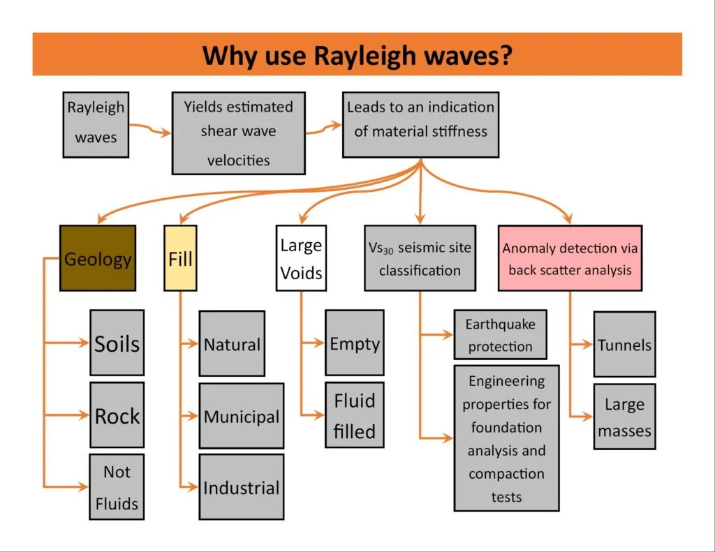
Process overview
Local context
The Langstone and Portsmouth Harbour foreshores are underlain by up to 15 metres of soft estuarine alluvium with shear wave velocities commonly below 150 m/s. On these soils, a generic Type D assumption from desk-study alone often underestimates the true amplification period, leading to a resonance mismatch with mid-rise framed structures. We have seen preliminary designs that assumed a 0.25-second site period, only for the MASW survey to reveal a 0.55-second fundamental mode, shifting the spectral plateau squarely into the building's natural frequency. Without measured VS30 data, the risk is not just overdesign; it is designing a structure whose dynamic response has never been checked against the ground it stands on.
Visual overview
Reference standards
BS EN 1998-1:2004 (Eurocode 8, seismic design), BS EN 1997-1:2004 (Eurocode 7, geotechnical design), BS 5930:2015 (site investigation code of practice), NEHRP site classification (FEMA 450)
Additional services
MASW Survey for Site Classification
Full 1D and 2D MASW profiling to determine VS30 and generate the shear wave velocity column required by Eurocode 8. Includes dispersion curve picking, inversion modelling, and a site classification report with VS,30 values mapped onto the BS EN 1998-1 ground types. Suitable for residential blocks, commercial developments, and infrastructure on Portsmouth's variable drift geology.
Combined Seismic and Geotechnical Investigation
Integrated package pairing MASW lines with dynamic probing or cable percussion boreholes at the same locations. The borehole logs provide lithological control for the velocity model, while the shear wave profile extends the ground model laterally, reducing the number of intrusive points needed across a Portsea Island site.
Typical parameters
Quick answers
What does a MASW survey cost for a typical Portsmouth residential site?
A single-line MASW survey with VS30 classification for a standard residential plot in Portsmouth generally falls between £1,500 and £2,820, depending on line length, access constraints, and whether supplementary seismic refraction or a second orthogonal line is required. Sites with heavy traffic noise or buried services may need additional processing time, which can influence the final figure.
Which Eurocode 8 ground type does Portsmouth typically fall into?
There is no single answer across the city. The chalk and gravel terraces north of Portsdown Hill often classify as Type B, while the alluvial basins around Langstone Harbour and the Hilsea lines can drop into Type D. A MASW survey is the only reliable method to determine the ground type at a specific address, because the thickness and stiffness of the superficial deposits vary over distances of less than 100 metres.
How is the MASW data used once the VS30 value is known?
The VS30 value feeds directly into the elastic response spectrum defined in BS EN 1998-1, selecting the correct spectral shape and soil factor S. The full shear wave velocity profile also provides the small-strain stiffness (Gmax) for each layer, which the structural engineer uses in soil-structure interaction models and for assessing liquefaction susceptibility in the saturated silts found near Portsmouth's waterfront.
Can a MASW survey be done inside an existing building or on a confined urban plot?
MASW requires a linear geophone spread, so it is best suited to open ground. On tight urban sites in Portsmouth, we adapt by running the line along a pavement or service road, using a shorter spread and higher-frequency geophones. If no surface line is feasible, we can pair a single-station microtremor measurement with a nearby external MASW line to estimate the site period, though this approach carries greater uncertainty.